

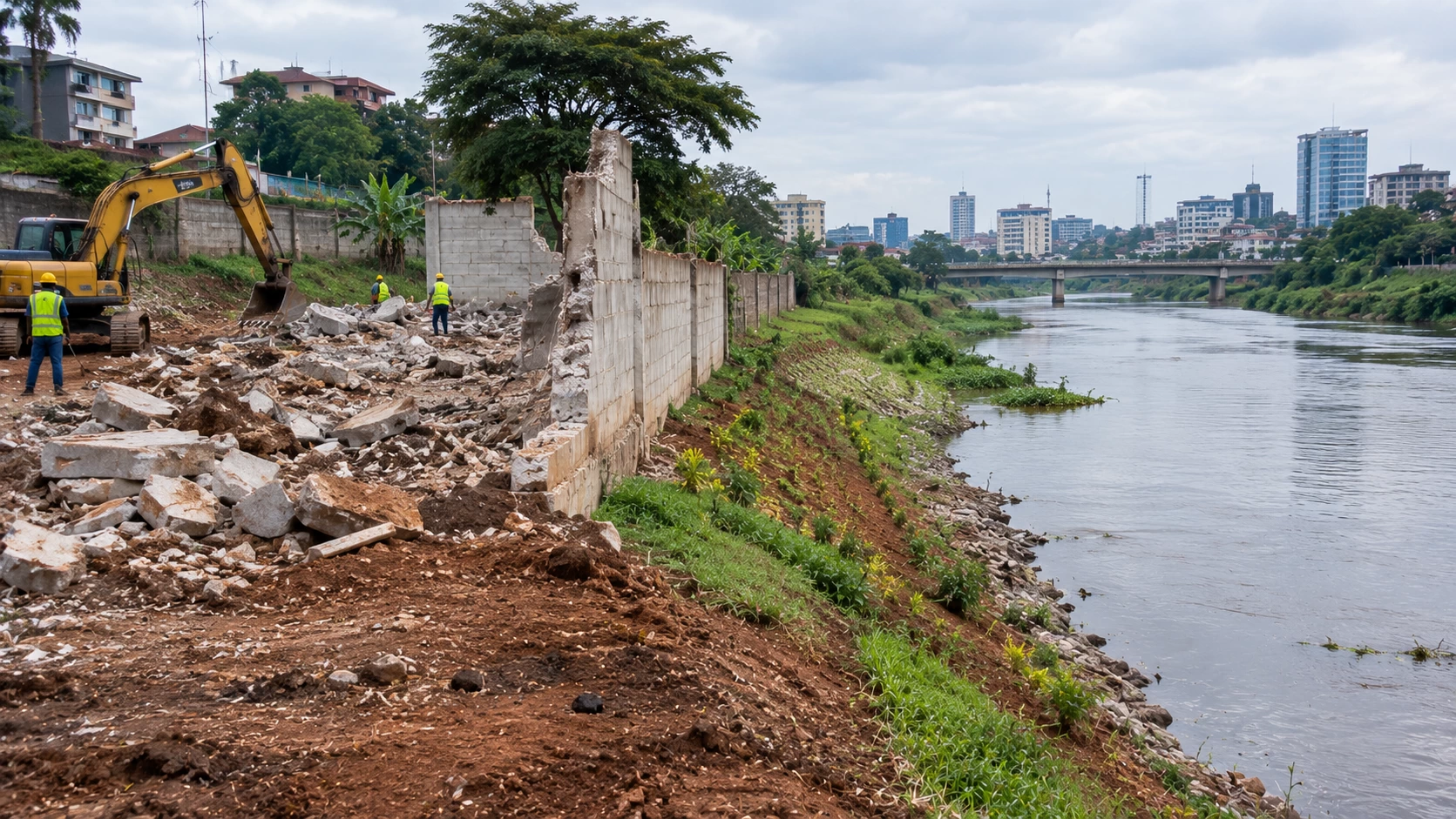
The demolitions along Nairobi's rivers over the past couple of years, and the more recent order to tear down part of the State House perimeter wall, put a word into everyday conversation that most Kenyans had barely heard before: riparian. For property buyers and developers, understanding what that word actually means is not optional anymore. A title deed can look completely clean and still sit partly on land you are legally not allowed to build on.
What riparian land actually is
Riparian land is the strip of land bordering a river, stream, lake, or other natural water body, measured from the highest water mark the water body has reached during ordinary seasonal flooding. This strip is treated as public land under Kenyan law. It cannot be privately owned or permanently developed, even if it falls within the boundaries shown on your title, because the reserve exists to protect water quality, prevent erosion, manage floods, and preserve habitat along the waterway.
This is the detail that catches people out most often: owning the title does not mean you own the riparian strip within it. The reserve is a public protection zone layered on top of private land, not a feature the landowner controls.
How wide the reserve actually is
This is where a lot of confusion comes from, because the exact figure has shifted and depends on the specific water body. The Environmental Management and Coordination Act and the associated Wetlands, Riverbanks, Lakeshores and Seashores regulations set the reserve at a minimum width of roughly 6 metres, with a maximum of 30 metres from the high-water mark, depending on the size and flood characteristics of the water body. More recent guidance has pushed the practical minimum higher, with legal commentary now describing the reserve as commonly starting around 10 metres rather than 6, and extending up to 30 metres based on environmental and hydrological assessment. Enforcement cases give a sense of how this plays out on the ground: the widely reported directive affecting the State House perimeter wall along the Kirichwa-Kubwa River specified a 15 metre setback from the high-water mark.
The honest takeaway is that there is no single fixed number that applies everywhere. The applicable setback depends on the specific river or lake, its flood history, and the current hydrological assessment, which is exactly why guessing based on how far a bank looks from a fence is not a safe approach.
What you cannot do within a riparian reserve
- Construct any permanent structure, including buildings, walls, or boundary fences that block public access
- Cultivate or farm the land within the reserve
- Dump waste, divert the watercourse, or interfere with natural drainage
- Fence off or otherwise privatize access to the reserve strip
What is generally allowed
- Passive use that does not interfere with the waterway or its natural function, such as unobstructed walking access
- Certain low-impact landscaping, though this still typically requires clearance from the relevant authority before proceeding
- Approved infrastructure projects specifically authorized by the Water Resources Authority or National Environment Management Authority
If in doubt about a specific planned use, the safe assumption is that it needs prior approval, not that it is automatically fine because it seems minor.
The legal basis behind all of this
Riparian protections in Kenya sit across several overlapping instruments:
- The Environmental Management and Coordination Act (EMCA) and its associated wetlands and riverbanks regulations
- The Water Act, 2016
- Water Resources Management Rules, enforced by the Water Resources Authority (WRA)
- Planning and zoning requirements enforced at the county level, alongside NEMA's environmental oversight
Because multiple agencies and instruments are involved, a straightforward land search alone will often not reveal a riparian reserve. Seasonal channels, sometimes called "blue lines" on planning and hydrology maps, do not always show up on a standard title or survey, especially where they run dry outside the rainy season.
Why this matters even if you already have a title deed
A defective riparian assessment does not go away just because a title was issued years ago. Recent enforcement actions in Kenya have targeted long-standing structures, including boundary walls and commercial buildings, specifically because they were found to encroach on protected reserves regardless of when they were built or titled. The consequences for encroaching, even unknowingly, can include:
- Demolition orders, regardless of how long the structure has stood
- Reduced financing options, since banks and lenders increasingly require environmental due diligence and flood risk assessments before approving loans near water bodies
- Insurance complications, as insurers become more cautious about flood and environmental exposure
- Lower resale value and buyer hesitation, since a confirmed riparian encroachment discourages future buyers even after any immediate legal issue is resolved
How to check before you build or buy
- Do not rely on the title or a standard land search alone. These do not reliably flag riparian reserves or seasonal channels.
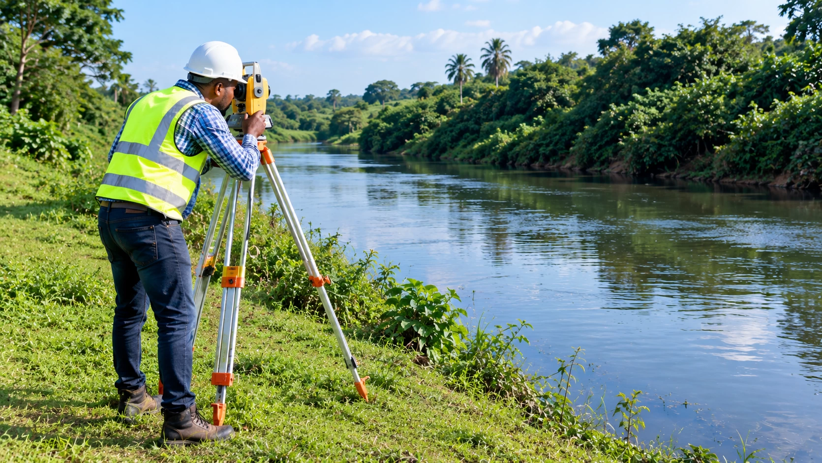
- Commission a proper hydrological or topographic survey for any plot within a few hundred metres of a known river, stream, or lake, including minor tributaries that may look insignificant in the dry season.
- Check with the Water Resources Authority and NEMA directly for the specific water body's classification and current setback requirement.
- Ask your architect or engineer to design around the reserve from the start, rather than treating it as something to negotiate around after foundations are poured.
- Get written confirmation of any approved exception before proceeding with anything near the boundary, rather than relying on assumptions from neighboring developments.
The bottom line
Riparian reserves exist because rivers, streams, and lakes need a protected buffer to function properly, manage floods, and stay healthy, and Kenyan law treats that buffer as public land regardless of what a private title says. The reserve width varies by water body, generally somewhere between 10 and 30 metres from the high-water mark, and no title search alone will reliably tell you whether your plot is affected. If you are buying or building anywhere near water, a proper hydrological assessment before you commit is far cheaper than a demolition order after you have built.